
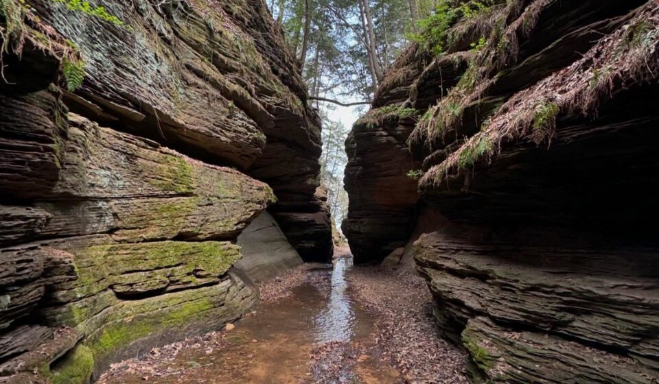
10 Hiking Trails Worth Every Step in Wisconsin

Here’s what nobody tells you about hiking in Wisconsin: the state does not ease you in. It doesn’t offer gentle rolling meadows and then slowly reveal something interesting. You drive through flat farmland, you turn into a state park, you walk five minutes, and suddenly you’re standing on a cliff above a glacial lake wondering what else you’ve been missing.
Table Of Content
- Devil’s Lake – East Bluff Trail
- Parfrey’s Glen – The Gorge That Doesn’t Belong in Wisconsin
- Meyers Beach – Lakeshore Trail to the Sea Caves
- Pattison State Park — Big Manitou Falls Trail
- Ice Age Trail- Kettle Moraine Segment
- Eagle Trail- The Door County Hike Nobody Talks About Enough
- Morgan Falls & St. Peter’s Dome – Waterfall First, Summit After
- Wyalusing State Park — Sentinel Ridge Trail
- Governor Dodge State Park — Lost Canyon Trail
- Lion’s Den Gorge Nature Preserve – The Milwaukee Secret That Shouldn’t Be One
- Related posts
I’ve organised the trails by character more than difficulty because the question isn’t just how hard a trail is. It’s what kind of morning you want. Dramatic views. Hidden waterfalls. A gorge that looks like it belongs in another country. Wisconsin has all of it. You just have to know where to turn off.
Devil’s Lake – East Bluff Trail
Trail difficulty level: Moderate
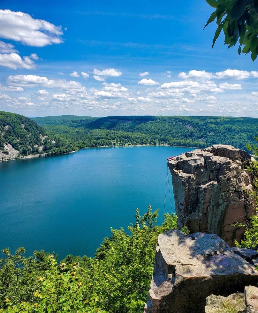
This is the one. If you hike one trail in Wisconsin, you hike this one. Devil’s Lake State Park sits in a gap in the Baraboo Hills where a glacial lake formed between two ridges of quartzite and the East Bluff Trail takes you up one of those ridges, past massive pink boulders, through gaps in the rock, and to a series of overlooks where the lake appears below you like something out of a geography textbook that forgot to include scale.
The trail climbs about 500 feet over a little more than a mile. It is not gentle. There are sections where you’re hauling yourself up using your hands as much as your feet, squeezing through narrow rock passages, standing on ledges that demand your full attention. And then you get to Balanced Rock- a quartzite boulder perched on an impossible outcrop and the lake is right there, turquoise and still, with the West Bluff mirroring back at you, and you forget you were ever tired.
Before you go, plan for Wisconsin State Pass sticker, plan to arrive before 9 am or after 4pm especially on a weekend or go on a weekday.
Parfrey’s Glen – The Gorge That Doesn’t Belong in Wisconsin
Trail difficulty level: Easy
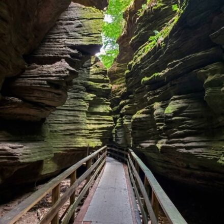
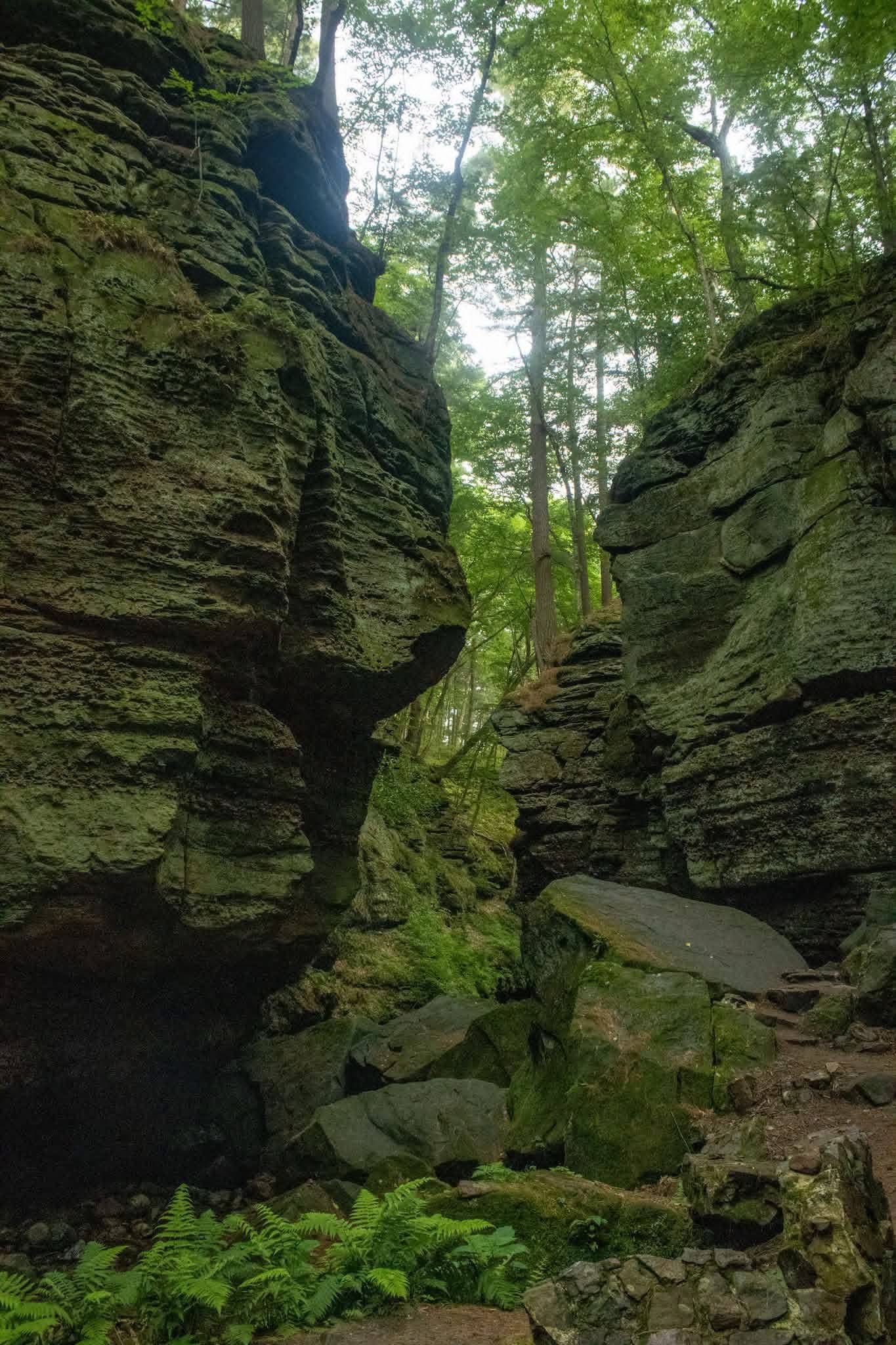
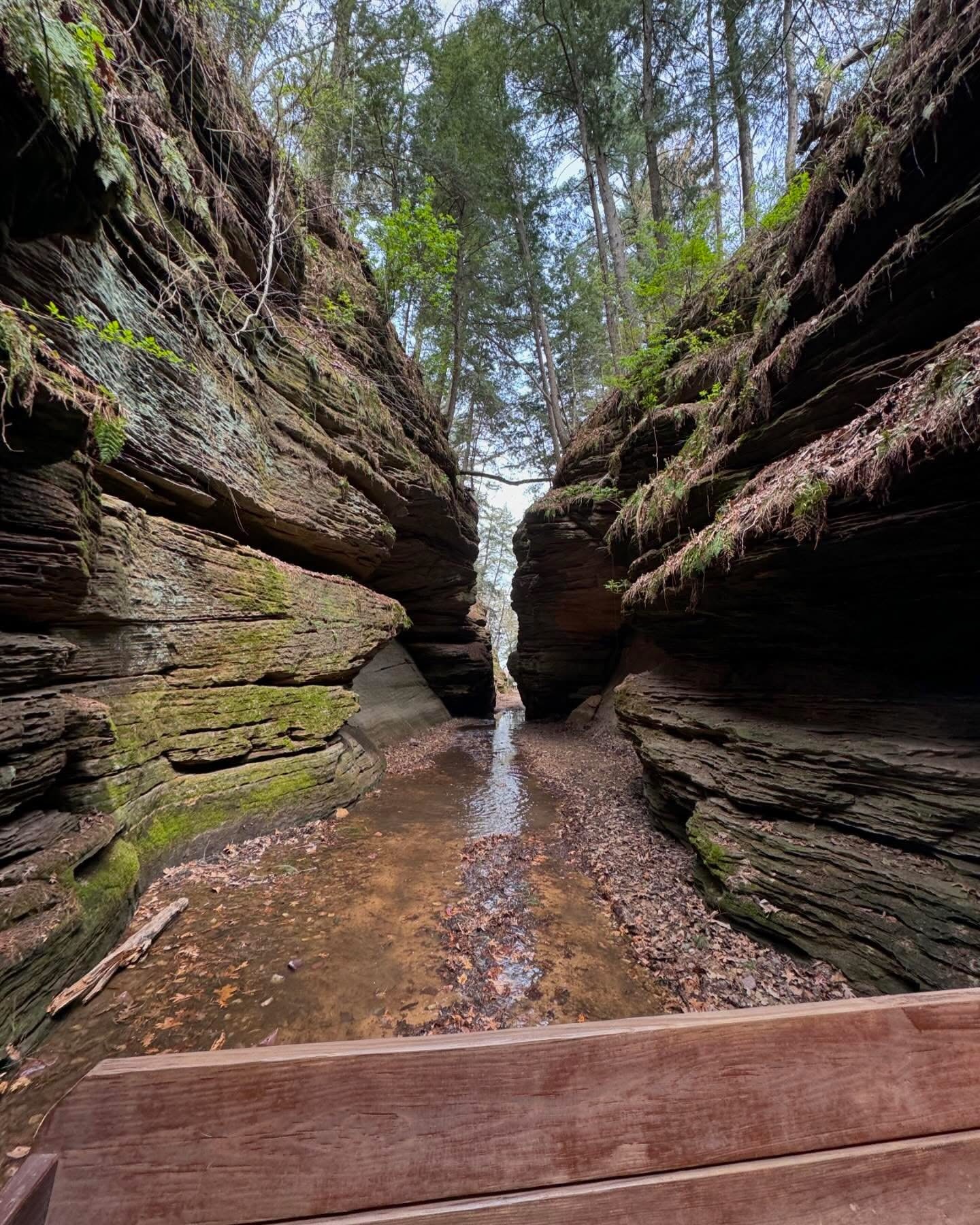
Parfrey’s Glen is Wisconsin’s oldest State Natural Area. The trail follows a cold creek through a narrow sandstone gorge. The walls are 100 feet high on both sides, draped in moss, ferns growing out of every crack, the creek running clear and fast over mossy rocks between you and the cliff face. It looks like Iceland. It a 20 minutes drive from Devil’s Lake.
The hike is only about 1.5 miles round trip. You will cross the creek four or five times on stepping stones. Kids absolutely love it! There’s water, there are rocks to climb on, there are walls towering above them, and the whole thing feels like an adventure without being genuinely difficult. The gorge narrows toward the end, and the final section before the trail closes has a waterfall tucked into a dead-end alcove. It is one of the best short hikes in the entire state.
Please note that no dogs allowed and a Wisconsin State Pass sticker is required.
Meyers Beach – Lakeshore Trail to the Sea Caves
Trail difficulty level: Moderate
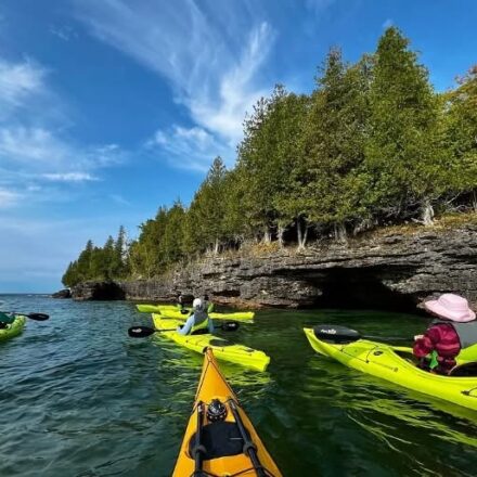
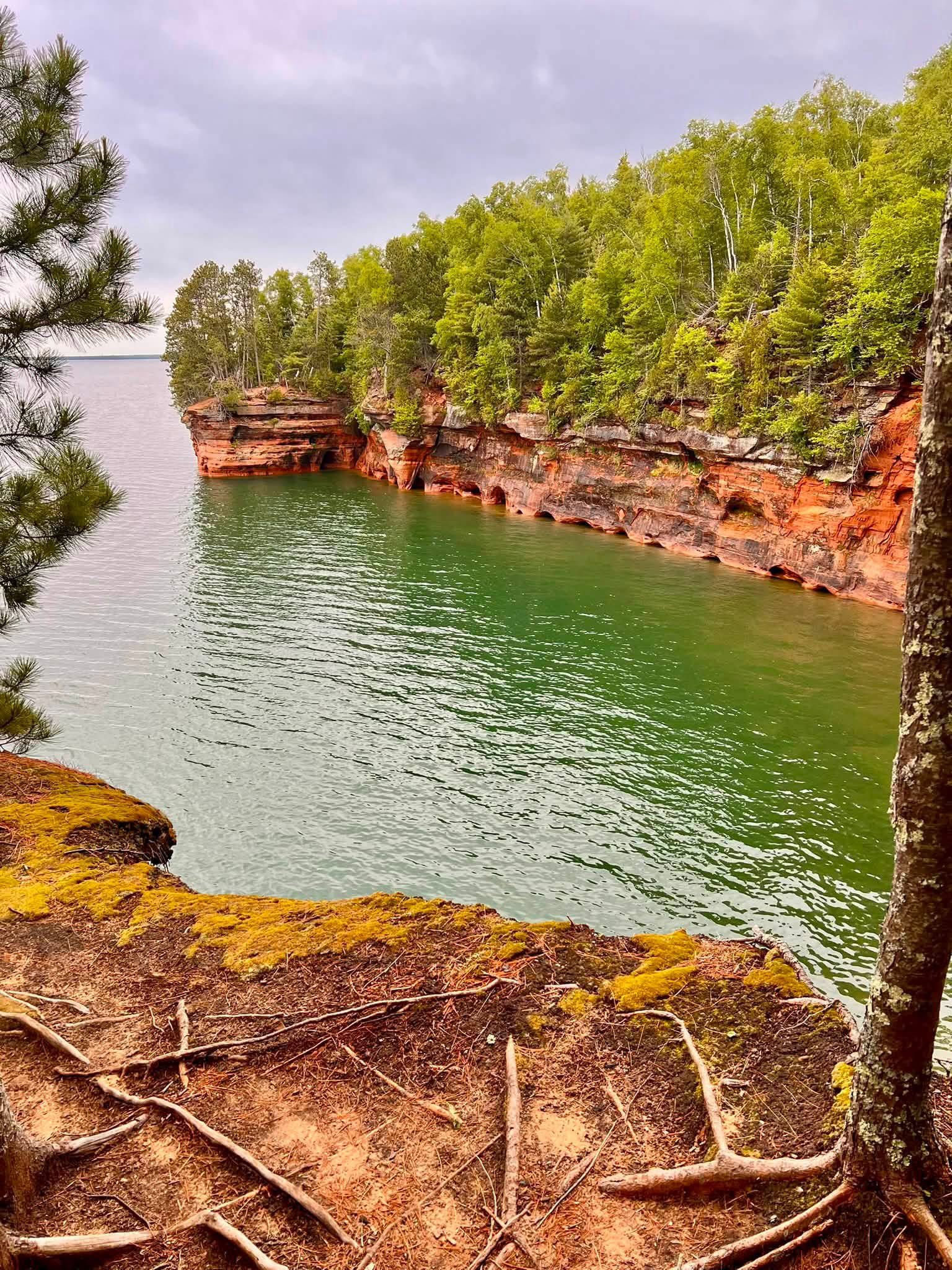
Read about Meyers Beach before in the beaches post. But the hiking here is its own thing and it deserves its own entry. The Lakeshore Trail takes you along the cliffs above the Apostle Islands sea caves. The red sandstone formations carved by Lake Superior over thousands of years on a rugged 4.3-mile out-and-back route with boardwalks, ravine crossings, and overlooks where the aquamarine water of Lake Superior fills the frame below you.
Also, the first sea cave overlook arrives about 2 miles in, and the effect is immediate. The sandstone cliffs drop straight into Lake Superior, the water is a colour you associate with the tropics rather than northern Wisconsin, and the caves themselves are visible from above; dark arches cut into orange and red rock.
It’s a $5/day parking fee.
Pattison State Park — Big Manitou Falls Trail
Trail difficulty level: Easy
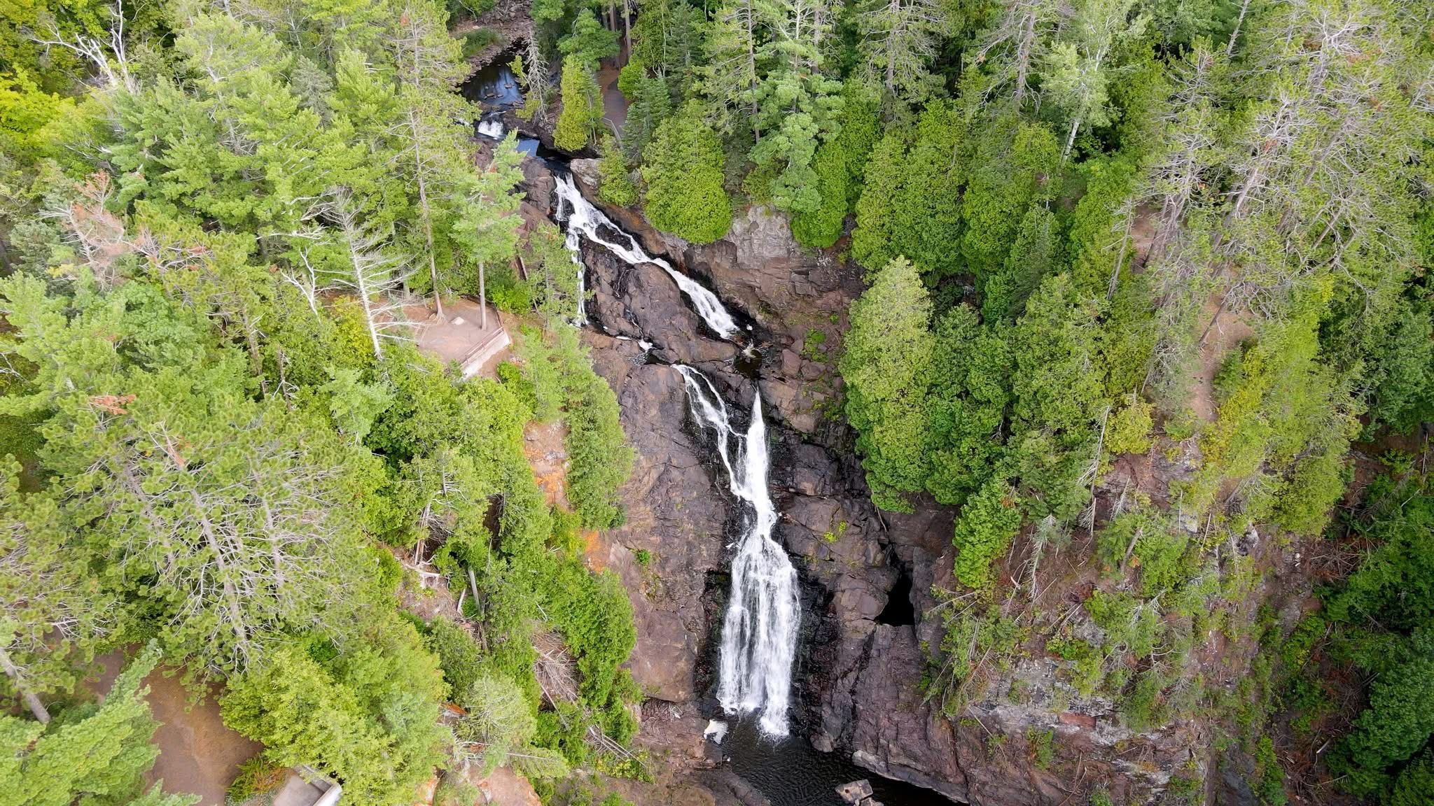
Big Manitou Falls is the tallest waterfall in Wisconsin. It drops 165 feet and it’s the fourth tallest waterfall east of the Rocky Mountains. The hike to reach it is less than a mile. I mention both of those facts together because the contrast matters: this is an enormous, genuinely spectacular natural feature that takes almost no effort to access. You park. You walk a short trail through pine forest. Then the falls appear, and the sound reaches you before the view does, and when the view arrives it’s bigger than you were ready for.
The Black River cuts through basalt and sandstone here, and the falls pour over a ledge into a dramatic plunge pool below. There are good viewing platforms at multiple levels; from the top, from the side, and from a lower trail that brings you close enough to feel the mist. Little Manitou Falls, about half a mile further along the park trail, is smaller but in some ways more beautiful a 30-foot cascade in a gorge that’s entirely your own if you time your visit right.
The trail is easy and great for kids. You will also need a Wisconsin State Pass sticker.
Ice Age Trail- Kettle Moraine Segment
Trail difficulty level: Moderate
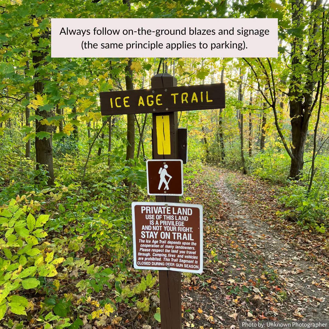
The Ice Age National Scenic Trail runs 1,200 miles across Wisconsin, tracing the edge of the last great glacier that shaped this landscape 10,000 years ago. The full trail takes months. But you don’t need months. Take the Kettle Moraine segment which stretches around Palmyra and the Scuppernong area. It gives you the best of what the trail offers in a day-sized piece.
What “glacial landscape” means in practice: rolling hills that appear from nowhere on flat terrain, depressions called ‘kettles’ where blocks of glacial ice left behind bowl-shaped lakes as they melted, and an undulating topography that makes every ridge feel slightly earned. At The Scuppernong Springs Nature Trail you will see spring-fed wetlands and oak savanna where the landscape changes every few hundred yards and you keep expecting the trail to get boring and it never does.
The trail is moderate and you require a Wisconsin State Pass sticker.
Eagle Trail- The Door County Hike Nobody Talks About Enough
Trail difficulty level: Moderate to challenging
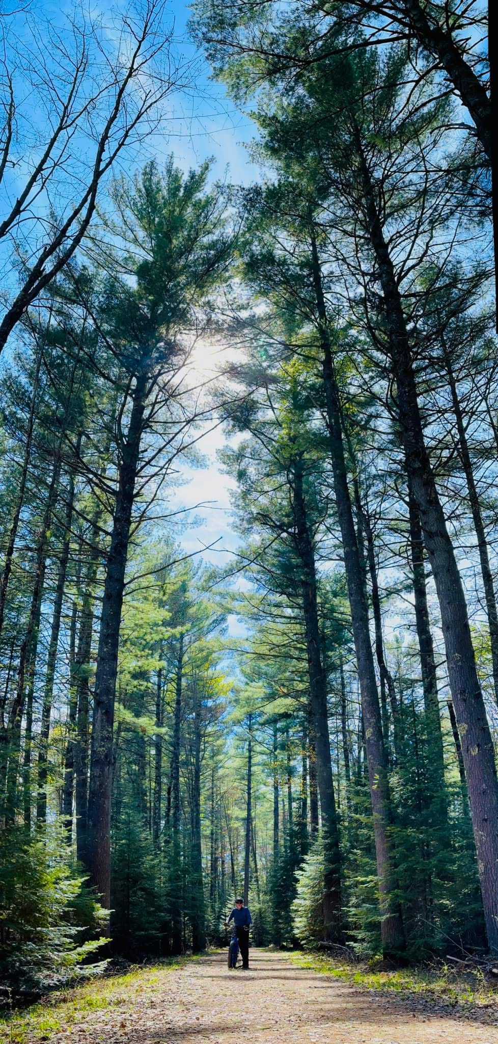
Everyone goes to Peninsula State Park for Nicolet Bay Beach. Far fewer people walk the 2 miles of limestone bluff, rocky coastline, and forest that brings you to views of Green Bay from heights that genuinely catch you off guard. This is the Eagle Trail.
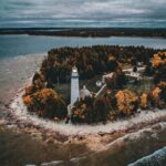
The trail descends to a rocky shoreline section where Lake Michigan (technically Green Bay) is right beside you; close enough to touch, with the waves coming in low and steady. Then it climbs the limestone bluffs above Eagle Harbor, and from the top you can see the Eagle Bluff Lighthouse below, the blue water spreading out to the west, and the tree line of the peninsula in both directions. This is the kind of view people drive four hours to Door County for, and most of them find it by accident while looking for something else.
A Wisconsin State Pass sticker is required for this park.
Morgan Falls & St. Peter’s Dome – Waterfall First, Summit After
Trail difficulty level: Moderate
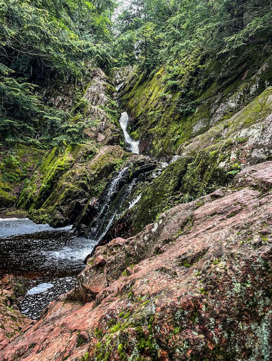
This one is a two-for-one, and both parts earn their place. The Morgan Falls trail takes you first to a 70-foot waterfall that pours down a cliff face and pools in a wading basin at the bottom — one of the most graceful waterfalls in Wisconsin, where the water fans out across mossy rock rather than dropping in a single column. Then the trail continues uphill to St. Peter’s Dome, an exposed granite outcropping at 1,600 feet with 360-degree views across the Northwoods canopy.
The combination of a waterfall and a summit view in 4 miles round trip is an outstanding return on investment for a morning’s hiking. The falls are best in early summer when snowmelt keeps the water volume high. The dome views are best in autumn when the hardwood canopy turns and the whole forest below you shifts colour. Both are worth a trip up from Ashland or Mellen.
It’s $5 parking fee at trailhead.
Wyalusing State Park — Sentinel Ridge Trail
Trail difficulty level: Easy to moderate
Wyalusing is one of those Wisconsin parks that makes you feel like you discovered it even though it’s been there since 1900s and the Native American effigy mounds on the bluffs were there for a thousand years before that. The park sits where the Wisconsin River meets the Mississippi, on a series of bluffs 500 feet above the confluence, and the Sentinel Ridge Trail walks you along those bluffs with the river valleys opening on both sides below.
The view from Point Lookout, the main overlook on the Sentinel Ridge Trail, is one of the most quietly magnificent things in southern Wisconsin. The Mississippi River spreads wide to the west, green islands scattered through it, and on a clear day you can see into Iowa. In the spring, bald eagles soar at eye level along the ridge. At this point, you’re standing on the bluff and the eagles are right there, not above you but beside you, riding the thermals.
A Wisconsin State Pass sticker is required for this park.
Governor Dodge State Park — Lost Canyon Trail
Trail difficulty level: Moderate
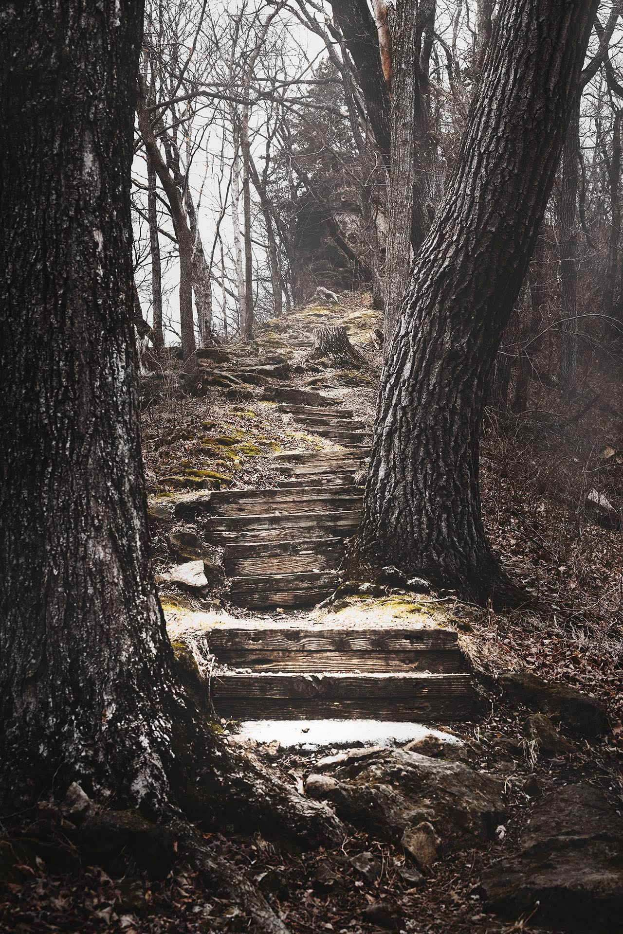
Governor Dodge is a big park made up of 5,000 acres of forest, prairies, two lakes with swimming beaches, and a trail system that takes the whole day to do properly. The Lost Canyon Trail is the one to prioritise. It runs past Cox Hollow Lake, through a canyon section with sandstone overhangs and cave alcoves you can walk into, and down to Stephens Falls; 25-foot cascade in a sandstone grotto that always has someone standing in front of it taking a photo.
The canyon section is the part people don’t expect. The trail narrows between sandstone walls, ferns grow out of the rock above you, and small springs seep down the cliff face. It has the feeling of Parfrey’s Glen but warmer and more open An experience that works for beginners who want more than a flat walk and experienced hikers who want a scenic half-day rather than a full-day push.
A Wisconsin State Pass sticker is required for this park.
Lion’s Den Gorge Nature Preserve – The Milwaukee Secret That Shouldn’t Be One
Trail difficulty level: Easy
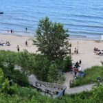
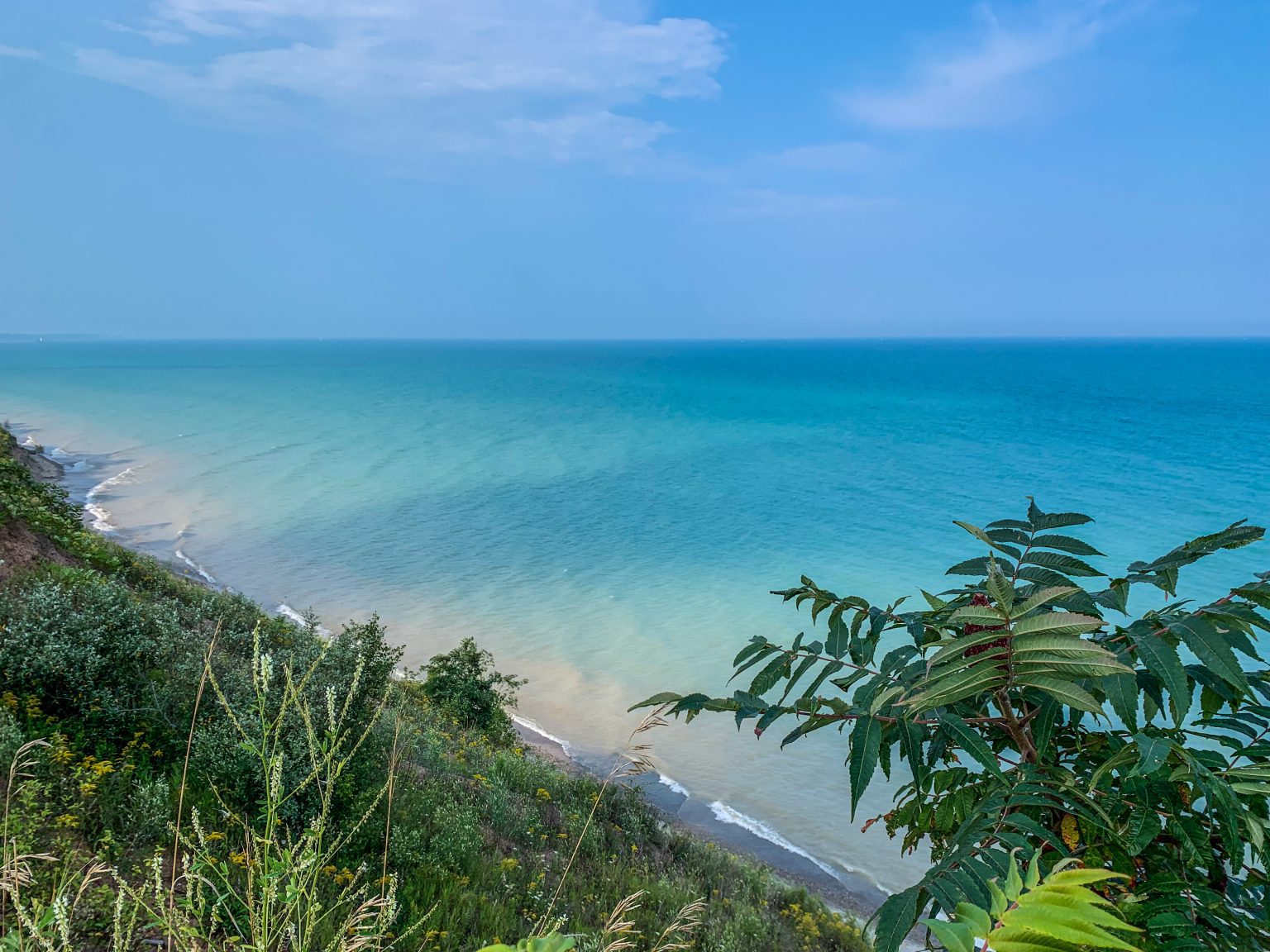
I saved this one for last because if you’re visiting Milwaukee, its just a 30 minutes drive from the city. Moreover, it proves the central argument of this entire blog; you don’t have to drive 4 hours to find something worth your time in Wisconsin. You drive 30 minutes north of Milwaukee, turn off on a county road in Grafton, park in a small gravel lot, walk 5 minutes, and find yourself standing on a 60-foot clay and sandstone bluff above Lake Michigan.
Lion’s Den Gorge Nature Preserve is a 75-acre Ozaukee County park with a ravine, a stream, a Lake Michigan bluff trail, and a beach at the bottom. The trail down to the lake is steep and earns the view — you’re looking north and south along the Lake Michigan shore from a vantage point that most people in Milwaukee don’t know exists. Entry is free. The parking area holds maybe 30 cars. Most of the time it’s half empty.
One of the things you’ll learn about Wisconsin is that the state keeps its best things quiet. Nobody is marketing the Parfrey’s Glen gorge or Lion’s Den Gorge bluff. There’s no Instagram campaign for the eagles at Wyalusing or the granite summit at St. Peter’s Dome. These places exist because the land is that way, and enough people have cared enough to protect it.
The trails are there- you just have to go but I advise you get a Wisconsin State Pass sticker if you wish to travel to all of these state parks. It’s going to save you lots of money.