


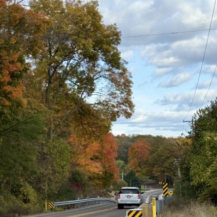
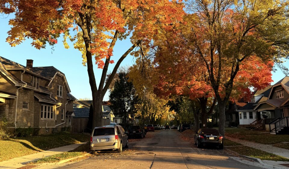
Wisconsin turns into something out of a painting every October. Here’s exactly where to go and when.
Table Of Content
I came from a country where the trees don’t change color. Ghana has two seasons – the wet and the dry and neither of them turns the landscape amber and burgundy and gold for six weeks straight. So when I drove through Wisconsin in October for the first time, I had no reference point for what I was looking at. I just pulled over and stared.
That was two years ago. I’ve since learned that not all fall foliage drives are equal, that peak timing varies by latitude by about ten days, and that the difference between a good fall drive and a great one is usually the route you take between the trees; the towns, the overlooks, the diners, the two-lane county roads where you don’t see another car for twenty minutes.
These are the drives you’ll ever do in Wisconsin.
When Does Wisconsin Peak?
Peak fall color in Wisconsin moves from north to south as the season progresses. Use this as your planning calendar:
- Northern Wisconsin (Bayfield, Apostle Islands): Late September – first week of October
- Central Wisconsin (Wausau, Wisconsin Dells area): First to second week of October
- Southern Wisconsin (Madison, Milwaukee, Door County): Mid to late October
Rule of thumb: If you can only go one weekend, target the third weekend of October for the best color in the southern half of the state.
The Drives
Drive 1: The Bayfield Loop (Northern Wisconsin) Ashland → Bayfield → Apostle Islands → Red Cliff → Washburn
Peak: Late Sept – Oct | 575 miles | Lake Superior views
This is the best fall foliage drive in Wisconsin. Full stop. The combination of Lake Superior on your right, the Chequamegon-Nicolet National Forest blazing on your left, and the small fishing town of Bayfield at the center makes it genuinely hard to describe without sounding like a tourism brochure.
Take Highway 13 north from Ashland along the lakeshore. Stop at Bayfield for an hour. It’s a walkable village with apple orchards, wine tasting rooms, and views of the Apostle Islands. Continue north to Red Cliff, the Ojibwe reservation with its own lakeshore overlooks. Return via County Road C through the forest interior. Total loop: about 75 miles, 3 hours including stops.
Drive 2 : The Kettle Moraine Scenic Drive (Southern Wisconsin) Palmyra → Eagle → Whitewater → La Grange
Peak: Oct 15| 45 min from Milwaukee| Family-friendly
The Kettle Moraine is a glacial landscape- rolling hills, kettle lakes, and oak savannas — that turns spectacular in mid-October. The official Kettle Moraine Scenic Drive is a marked 115-mile route through the Southern Unit of the Kettle Moraine State Forest. You don’t need to do all 115 miles. The stretch between Palmyra and Eagle on County Road H is the most dramatic 30 miles. Stop at Lapham Peak for a 45-foot observation tower view across the canopy.
This drive is an hour from Milwaukee, making it the most accessible fall drive for city residents.
Drive 3: The Great River Road (Western Wisconsin) La Crosse → Trempealeau → Alma → Pepin
Peak: Oct 10–20| Mississippi River views| Historic towns
Wisconsin’s stretch of the Great River Road follows the Mississippi River bluffs from La Crosse north to Prescott. The bluffs rise 500 feet above the river and are covered in hardwoods that go electric in October. Alma’s Buena Vista Park overlook is the most photographed spot — it looks directly down onto the Mississippi, the river islands, and the Minnesota bluffs beyond.
The towns along this route — Trempealeau, Alma, Pepin (birthplace of Laura Ingalls Wilder) — are genuinely charming and largely undiscovered by fall tourism crowds.
Drive 4: Door County Peninsula Loop Sturgeon Bay → Fish Creek → Ephraim → Sister Bay → Gills Rock
Peak: Oct 12| 2:20 hr from Milwaukee| Best overall
Door County in fall is quieter than summer, cheaper than summer, and arguably more beautiful than summer. The peninsula’s cherry and apple orchards go golden, the lake views from Ellison Bluff County Park are unobstructed by summer haze, and the watercolor light of October afternoons on Green Bay is something people come back for every year.
Take Highway 42 up the Green Bay side, cross at Northport and take the Washington Island Ferry if you have time, return down Highway 57 on the Lake Michigan side. The full loop is about 120 miles.
Note:
- October mornings in northern Wisconsin can be 32°F at sunrise and 58°F by noon. Pack accordingly.
- Farm stands, roadside cider sellers, and small-town diners along these routes often don’t take cards.
- Cell service disappears on the Great River Road and in parts of northern Wisconsin. Save your route before you leave.
- Door County in fall books up faster than summer now. The secret is out.
Fall foliage is one of those things that photographs imperfectly. Every picture you take will be slightly less than what you’re seeing, because the light is moving and the leaves are rustling and the air smells like woodsmoke and cold lake water and you can’t put that in a frame. Go anyway. Take the pictures. They’ll still be better than staying home.