


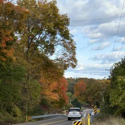
Before I moved to Wisconsin I did not know what a glacial landscape looked like from inside it. I had seen photographs of the Kettle Moraine on maps and read about kettles and moraines as geographic formations, but the actual experience of walking through 22,000 acres of terrain left behind by a retreating glacier 10,000 years ago is something I was not ready for.
Table Of Content
The Kettle Moraine Southern Unit sits 45 minutes west of Milwaukee. Here is everything you need to know before you go.
What Makes the Kettle Moraine Different
Most of Wisconsin is flat. The Kettle Moraine is not. The landscape is a direct record of where the Laurentide Ice Sheet sat, deposited, and retreated. The kettles are the depressions left by buried ice blocks, moraines are the ridges of debris pushed up at the glacier’s edge, and drumlins are the elongated hills formed beneath the ice.
Walking through the Southern Unit you move across these features constantly up a ridge, down into a depression, along a narrow esker, into a kettle filled with water. The terrain changes every quarter mile.
Lapham Peak- Best View in Waukesha County
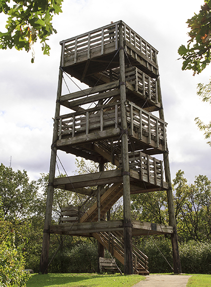
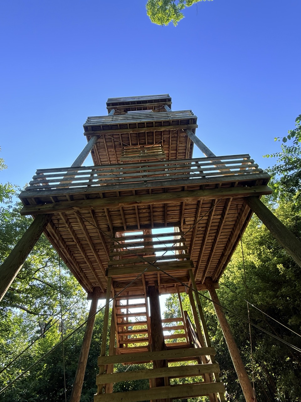
Lapham Peak is the highest point in Waukesha County at 1,233 feet above sea level. The number sounds modest until you climb the observation tower at the top and see the full glacial landscape spreading out in every direction.
The tower is 45 feet high. On a clear day you can see the Milwaukee skyline to the east and the glacial terrain to the west and north. The trail to the summit is about two miles round trip from the main trailhead. It’s a moderate difficulty hike and it takes about 90 minutes at a relaxed pace.
Visit in October if you can time it. The drumlins turn color in sequence, the oaks last, maples first and the view from the tower in mid-October is something I will not try to describe adequately here.
Ice Age Trail Through the Southern Unit
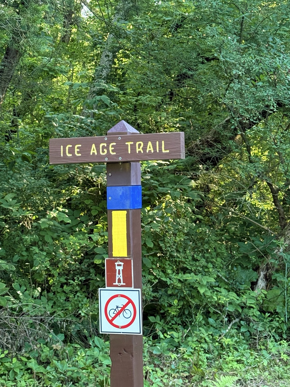
The Ice Age National Scenic Trail runs 1,200 miles across Wisconsin following the edge of the last glacial advance. The Kettle Moraine Southern Unit contains some of the trail’s most dramatic sections.
You do not need to hike 1,200 miles. The section between the Rice Lake Unit and Whitewater is manageable for day hiking with multiple access points. Nordic Trail at the main unit gives you a loop system with 30 miles of marked trails that cover the main glacial features.
Pick up a trail map at the forest headquarters on Highway 59. Staff there are genuinely helpful and will match you to a trail based on your fitness level and what you want to see.
Swimming and Lakes
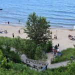
The Southern Unit has several lakes with swimming beaches. Whitewater Lake on the southern end has a designated swimming area. Rice Lake in the middle section has beach access. Both are included in your park sticker.
The water in kettle lakes is colder than you expect. They are often quite deep and the glacial origin means they have a clarity and coldness that feels different from the shallower lakes in other parts of the state. Bring a towel and go in prepared for the cold.
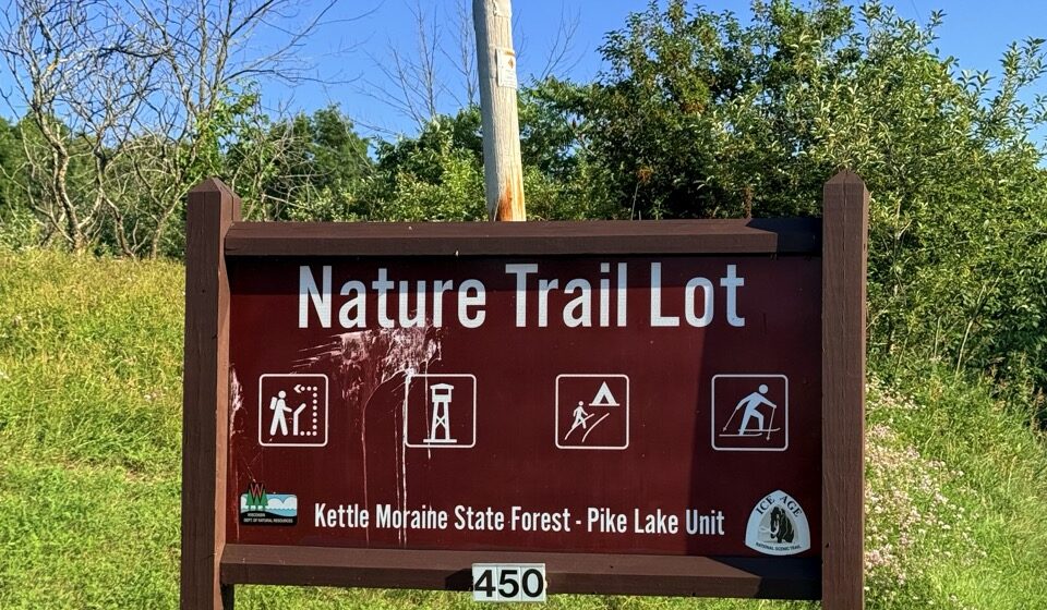
Camping at Pike Lake Unit
Camping at the Kettle Moraine State Forest Pike Lake Unit is one of those experiences that feels like a genuine escape The campground runs from early April through the third weekend in October and offers 32 sites, with 24 nestled into the trees and 11 sites with electrical hookups for those who want a little extra comfort. During the day you can swim at the beach, fish the lake, or hike sections of the Ice Age National Scenic Trail that winds right through the park. Climbing the observation tower on Powder Hill rewards you with a sweeping view of Holy Hill and the surrounding forest that makes every step of the climb worth it. The park has well groomed trails, clean showers, and flush toilets so you are never roughing it more than you want to.

Practical Information
A Wisconsin State Park Vehicle Admission Sticker is required- $8 for a daily pass or $28 for an annual pass that covers all Wisconsin state parks and forests. If you are going more than four times in a year the annual pass pays for itself.
The southern unit is accessible from several entry points check the DNR website for current trail conditions before you go, especially in spring when some trails close for mud season.