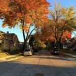



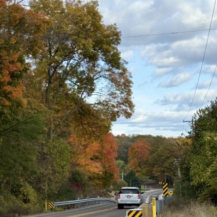
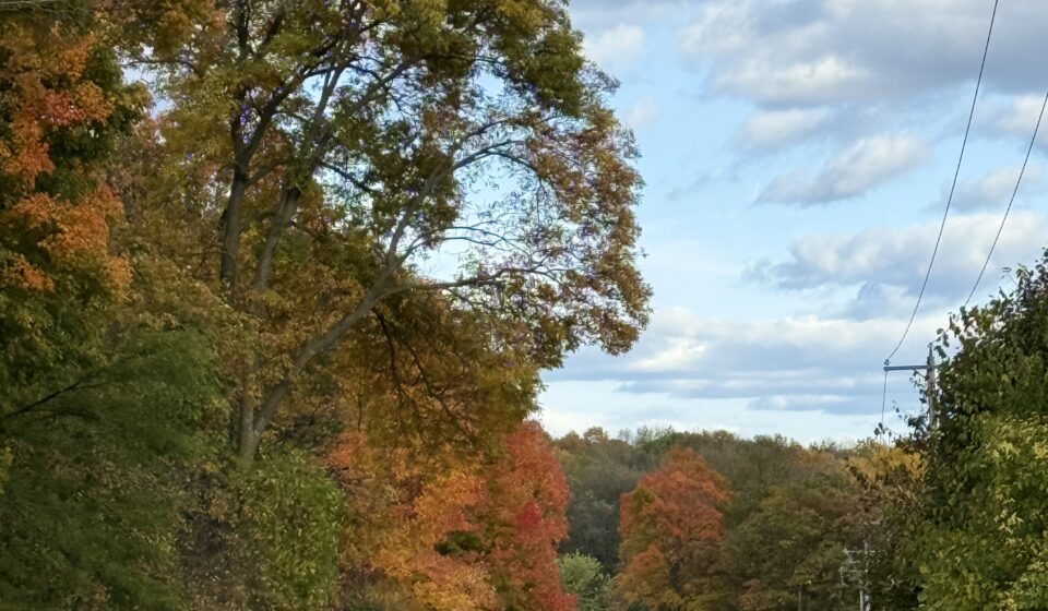
There’s a stretch of backroad in Wisconsin that I drive every October with no real agenda. Leaves hit the windshield before I can see them fall. The road curves through a tunnel of maple and birch, and the only sound is the crunch of color underfoot when I finally stop. That moment is exactly what this blog, Near and Unknown, is built on: the real version of fall in Wisconsin, not the stock-photo version.
Table Of Content
- When fall color peaks across Wisconsin: a north-to-south breakdown
- Fall color routes in Wisconsin’s north: Chequamegon-Nicolet and the Bayfield peninsula
- Central Wisconsin and the Great River Road: underappreciated fall color routes worth the detour
- Using a Wisconsin fall color map to plan your route
- Door County and southern Wisconsin: the crowd-favorite fall color routes explained honestly
- Norte’s personal favorite stretch: the Kickapoo Valley via WI-131
- Practical notes: maps, parking, lodging, and what catches people off guard
- Wisconsin’s fall season rewards the flexible traveler
- Related posts
Most fall foliage guides point you straight at Door County or the Kettle Moraine and leave it there. Both are gorgeous, and I’ll cover them honestly here. But Wisconsin’s fall color season is staggered across weeks and regions, which means there are multiple chances to catch peak color if you know when and where to look. This guide covers the best fall color routes in Wisconsin, exact roads, regional peak windows, photo stops, practical parking notes, and one personal favorite stretch that most travelers drive right past.
When fall color peaks across Wisconsin: a north-to-south breakdown
Wisconsin’s foliage season runs north to south, and the timing gap between regions gives you real flexibility. Northern Wisconsin, including Bayfield, the Apostle Islands shoreline, and the Chequamegon-Nicolet National Forest, typically hits peak between October 5 and 12. Some far-northern counties show color as early as late September, and the maple and birch canopy there turns hard and fast. A few days of wind or rain after peak can strip those trees quickly, so if you’re targeting the north, lock your dates early.
Central Wisconsin, covering the Wausau area, Rib Mountain, and the northern Kettle Moraine, generally peaks October 12 to 20. Southern Wisconsin, from the Kettle Moraine Southern Unit through Madison and the Great River Road corridor, runs October 19 through 31, with some southwestern pockets holding color into early November. That staggered timing is a genuine gift: you can plan separate weekends for different regions, or design one multi-day trip that catches two regions at their peak simultaneously. The Travel Wisconsin Fall Color Report at TravelWisconsin.com tracks county-level conditions weekly starting in mid-September and is the most reliable tool for narrowing your window before you leave home.
Fall color routes in Wisconsin’s north: Chequamegon-Nicolet and the Bayfield peninsula
The Great Divide loop through the Chequamegon-Nicolet National Forest is one of the most underrated fall drives in the entire Midwest. The route runs roughly from Hayward, heading northeast through Cable and Drummond before turning south toward Ashland, then continuing through Glidden and Clam Lake before looping back to Hayward, approximately 180 to 220 miles with around 4.5 to 5.5 hours of drive time. The Great Divide National Scenic Highway follows WI-77 between Hayward and Glidden through dense maple, birch, and aspen. The color near Chequamegon Lake, Lake Namekagon, and the forest north of Glidden is consistently exceptional, and the drive feels genuinely remote even during peak season.
The Bayfield coastal loop covers roughly 85 to 105 miles and links Lake Superior’s shoreline with red-and-gold hardwood ridges above the harbor towns of Washburn, Red Cliff, and Cornucopia. Meyers Beach is a strong stop for views toward the Apostle Islands. For a longer circuit, extend south through Ashland and Copper Falls State Park near Mellen to add waterfall scenery to the mix. That full route runs 125 to 150 miles and makes an excellent two-day trip. One honest note: Bayfield-area lodging fills well in advance for October weekends. Book four to six weeks out, minimum.
Central Wisconsin and the Great River Road: underappreciated fall color routes worth the detour
The Kettle Moraine Scenic Drive runs approximately 115 miles from the Southern Unit near Whitewater Lake north to Elkhart Lake, connecting the two units through glacial hills, oak and maple forest, kettle lakes, and winding forest roads. Drive time without stops is 3 to 4 hours, but budget 6 to 8 hours if you plan to visit the Parnell Observation Tower, the Ice Age Trail segments, or the Scuppernong trails. The Parnell Tower loop is about 3.5 miles with good canopy views from the top; the tower itself requires 88 steps. State vehicle admission applies, and popular trailhead lots can fill by mid-morning on fall weekends.
The Great River Road along the Mississippi in western Wisconsin is one of the most dramatic fall color routes in the state, yet it almost never leads regional foliage guides. Wyalusing State Park near Bagley and Perrot State Park near Trempealeau both sit along this corridor, with bluff-top overlooks rising roughly 500 feet above the river. Grandad Bluff in La Crosse is a drive-up summit with sweeping valley views and minimal hiking required, making it one of the easiest high-payoff stops on any Wisconsin fall foliage route. Small towns along this stretch host harvest events in October, so check local calendars before committing to a specific weekend, festivals can slow two-lane highways considerably.
Using a Wisconsin fall color map to plan your route
Before heading out to either the Kettle Moraine or the Great River Road, it’s worth pulling up the Travel Wisconsin Fall Color Report and cross-referencing it with a Wisconsin fall color map. County-level conditions along these central and western corridors can differ by a week or more from the general regional forecast, and a quick check before you leave can mean the difference between peak color and bare branches.
Door County and southern Wisconsin: the crowd-favorite fall color routes explained honestly
The classic Door County loop follows WI-42 north through Egg Harbor, Fish Creek, Ephraim, Sister Bay, and Gills Rock, then returns south on WI-57 through Ellison Bay, Baileys Harbor, and back to Sturgeon Bay. The full loop covers about 130 to 150 miles with 3.5 to 4.5 hours of drive time. Peninsula State Park and Eagle Tower are the standout stops; the tower has an accessible ramp structure and delivers a genuine treetop canopy view worth the detour. Newport State Park on the quieter eastern shore offers a sharp contrast to the busier WI-42 side and is worth including if you have time.
Peak weekends in Door County bring real traffic pressure. The Egg Harbor Pumpkin Patch Festival runs October 10 to 11, and Sister Bay Fall Fest occupies October 16 to 18. Either event can slow WI-42 significantly and fill nearby parking lots. If your dates overlap with either, arrive before 9 a.m. or plan to travel midweek. For a southern Wisconsin fall color route that skips the crowds entirely, Lake Geneva’s Rustic Roads 11, 12, and 36 cover about 22 miles through glacial hills, the White River corridor, and wooded farm country in Walworth County. This area peaks in the last two weeks of October and pairs well with a stop in Lake Geneva itself.
Norte’s personal favorite stretch: the Kickapoo Valley via WI-131
Door County is beautiful. The Kettle Moraine delivers every fall. But the fall color route I come back to every single October runs through the Kickapoo Valley in southwestern Wisconsin, specifically the stretch linking Ontario, Wildcat Mountain State Park, and the valley ridge roads via WI-131. The ridgeline views above the winding Kickapoo River draw honest comparisons to Appalachian hill country, and the road is quiet enough on a weekday that you can pull over and stand in the middle of it without worrying about traffic.
Wildcat Mountain State Park has two overlooks that earn their short walk. The Taylor Hollow Overlook is about 0.4 miles from the nature building and gives a clean view over Ontario and the valley floor. The upper picnic-area Observation Point is the signature stop, with a broad panorama across the Kickapoo River Valley from the ridge. Both are short and accessible, making this a strong family option without sacrificing the view payoff. The park entrance is on WI-33 about three miles southeast of Ontario, and a Wisconsin state-park vehicle admission sticker is required.
WI-131 itself is narrow and genuinely slow, which keeps you present rather than rushing between destinations. The color here tends to run a few days behind the more northern routes, making it a reliable late-season option if you missed peak elsewhere. Ontario is a small town with basic services and no restaurant wait times, a real advantage over Door County on a busy October Saturday. For photographers, the valley pulloffs are wide enough to park safely without other cars in frame, a detail that matters more than most fall color tour guides acknowledge.
Practical notes: maps, parking, lodging, and what catches people off guard
The Travel Wisconsin Fall Color Report is the most reliable real-time source for current conditions. More than 100 local observers submit weekly county-level updates from mid-September through late October, and Travel Wisconsin also offers an embeddable widget for tracking conditions by region. Individual county conditions can shift by a week or more from the general regional forecast, so checking a few days before your trip is worth the five minutes it takes.
Lodging near Door County, Bayfield, Devil’s Lake, and the Kettle Moraine books out fast. Plan to reserve four to six weeks ahead of your target weekend, or consider staying in a smaller nearby town and driving in, it saves money and sidesteps in-town parking headaches. At busy sites like Devil’s Lake State Park and Peninsula State Park, lots can be full by 10 a.m. on peak Saturdays. Arriving by 8 a.m., traveling midweek, or identifying secondary lots on the DNR’s park pages makes a real difference.
One thing that consistently surprises people: the speed at which northern Wisconsin color drops after peak. A windstorm on October 10 can strip a canopy that looked full on October 7. Build flexibility into your plans. Keep an eye on the forecast in the week before you leave and have a backup route ready. That habit is something I write about often here at Near and Unknown, because the willingness to adjust is usually what separates a great fall trip from a frustrating one.
Wisconsin’s fall season rewards the flexible traveler
Wisconsin’s fall color is not a single event you either catch or miss. It’s a staggered season that moves south across the state over five to six weeks, with multiple strong windows across different fall color routes in Wisconsin. Whether you’re chasing the dense hardwood canopy of the Chequamegon-Nicolet, the Lake Superior shoreline near Bayfield, or the quiet ridge roads above the Kickapoo Valley, there’s a route here that fits your schedule and travel style. The key is knowing your region’s peak window, booking ahead for the popular spots, and being willing to step off the most famous highway when something better is waiting around the corner.
That willingness is exactly what Near and Unknown is built on. If you go out this fall and find a stretch of road or a viewpoint that stopped you cold, I want to hear about it. The best local discoveries often start with a tip from someone who was just there last weekend, and that’s the engine that keeps this blog running. Share where you went and what you found. I’ll be out there too.